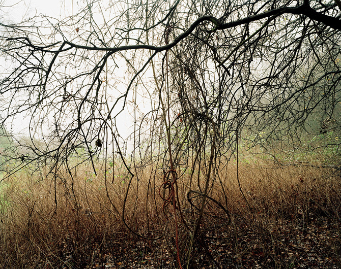
The 'A-Z London Street Atlas' is the most popular map of any kind in Britain, selling over 200,000 copies a year.
In the Spring of 2003 I was enjoying a picnic somewhere to the west of London. Leafing idly through my own A-Z, I noticed the stream in front of me ran along the very edge of the atlas and the field beyond was off the page altogether.
The coverage of the map changes with each new edition. Someone somewhere decides, year by year, where it should end; which parts of the periphery of London should be included, and which should not. This project is about the unfortunate places that fall just off the edge.
A touring exhibition, A System of Edges, included one photograph from each of the fifty-six pages meeting the edge. An edit of just twenty-six of these finally became the book 26 Different Endings.
